Trail technology in Creston
Access to hiking and biking trails in the Creston Valley is receiving attention and support

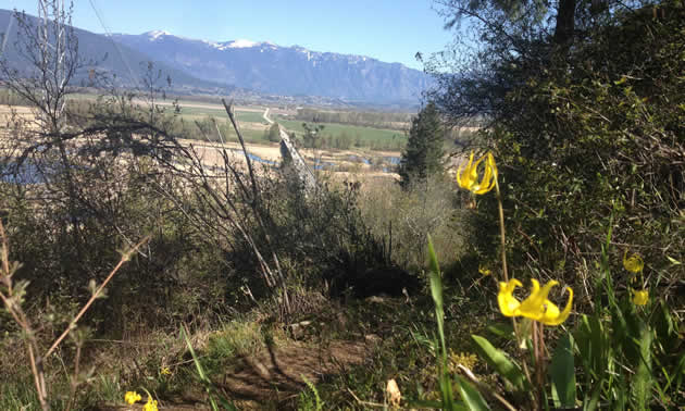
Yellow lilies bloom along Balancing Rock Trail above a panoramic view of the Creston Valley. — Photo courtesy Mary Jayne Blackmore
Recently some property owners in the Creston Valley have begun to restrict public access to Kootenay Lake and Kootenay River through their properties. Mary Jayne Blackmore, president of the Trails for Creston Valley Society, said that people in the valley feel passionate about regaining access to green space and establishing that access in perpetuity.
The Trails for Creston Valley Society achieved charitable status in 2005 and has 250 paid members. The goals of the society’s Kootenay Lake Access Project are to locate, sign, map and improve existing public access to Kootenay Lake, Crown land and other green spaces, and to build trails. Stewardship of the land and water is a key element of its work.
The society has recently launched a new website, crestonvalleytrails.ca, offering the first GPS and digital elevation maps in the Creston Valley. Users are encouraged to upload photos taken during their hikes, along with up-to-the-minute information about the condition of the trails and any special information about their experiences.
“We hope to collaborate with other organizations and really make this site a hub for what’s happening in the backcountry,” Blackmore said.


Comments